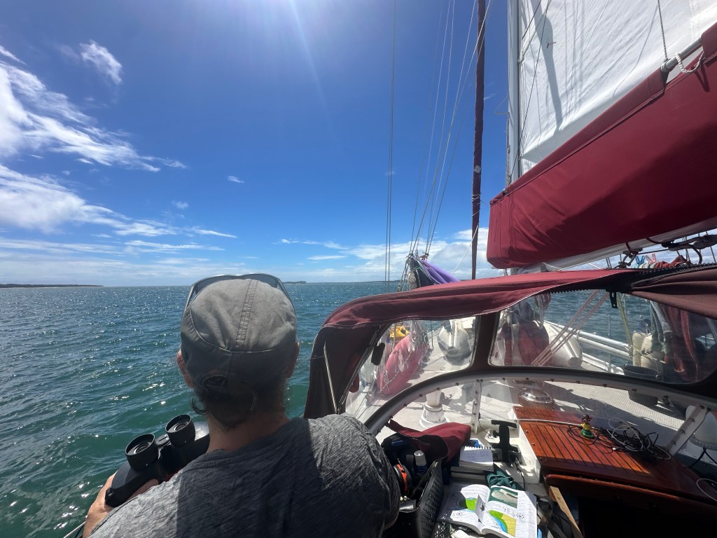
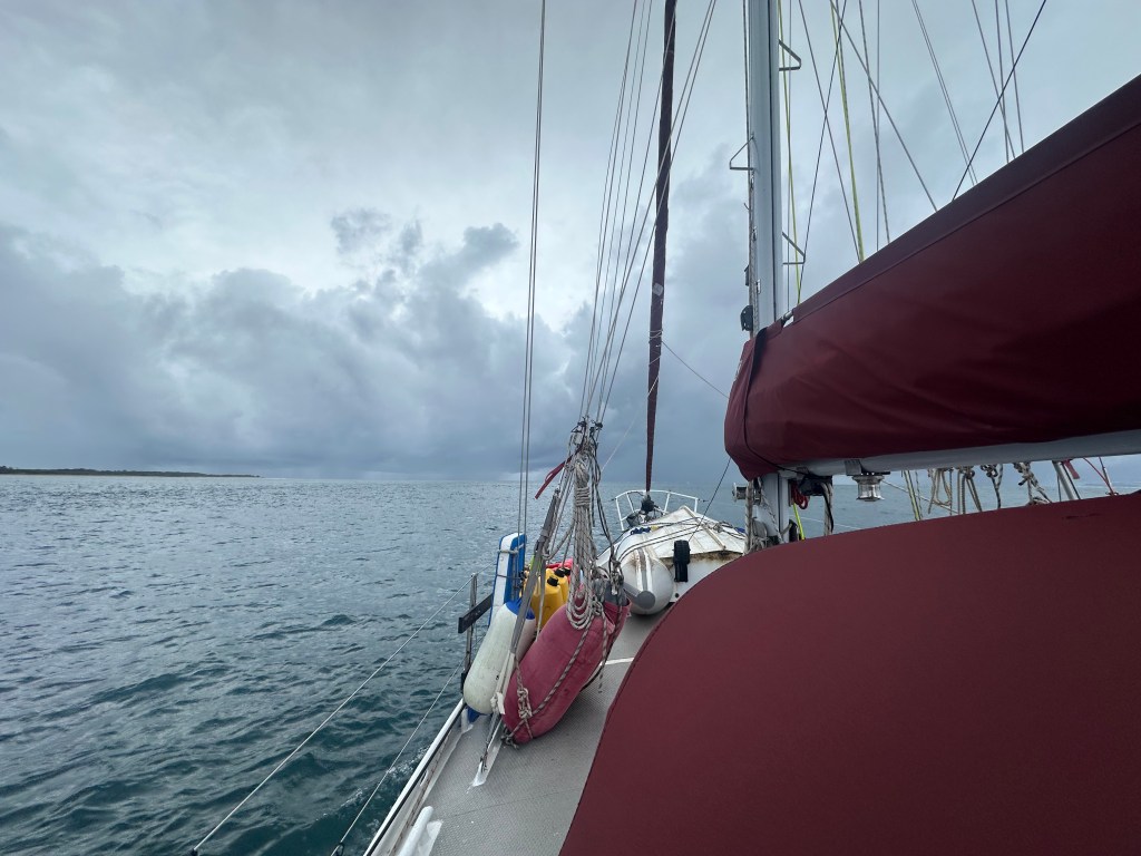
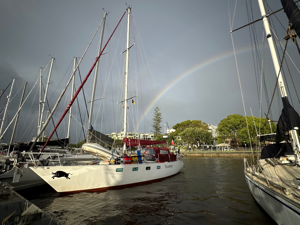
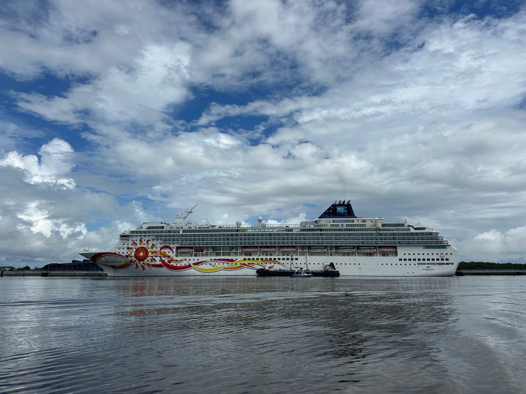
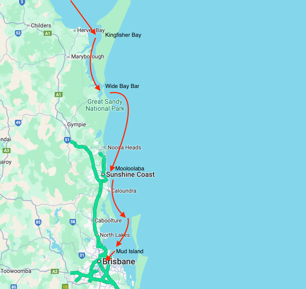
After saying our goodbyes to Martin and Trevor, we packed Taurus up and prepared to leave Bundaberg the following day. In order to make the most of the strong tidal flow we were up at 5am, and once past the channel entrance to the Burnett River we hoisted the sails and headed south.
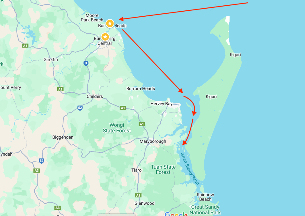
Bundaberg sits on the west side of a bay that looks a little like a wine glass. We had entered the glass, from Noumea, from the east, stopped in Bundaberg on the west, and now needed to head south, into the centre of the glass and then down through the stem, if you will. In reality, the stem is a series of interlinking shoal channels. These channels wend their way through shifting banks of sand, some so shallow that they can only be passed by boats of Taurus’ size at high tide. Naturally, the weather needs to be right before entering these channels, you wouldn’t want to attempt them in strong winds for example, and you need to think carefully about your timing and where you want to be at high water.
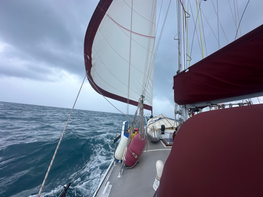
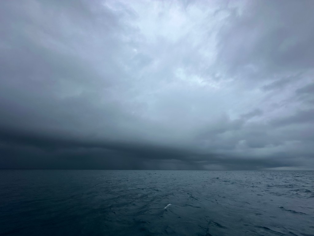
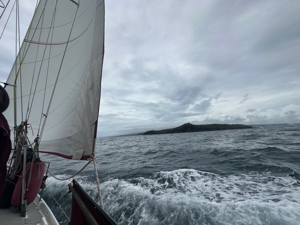
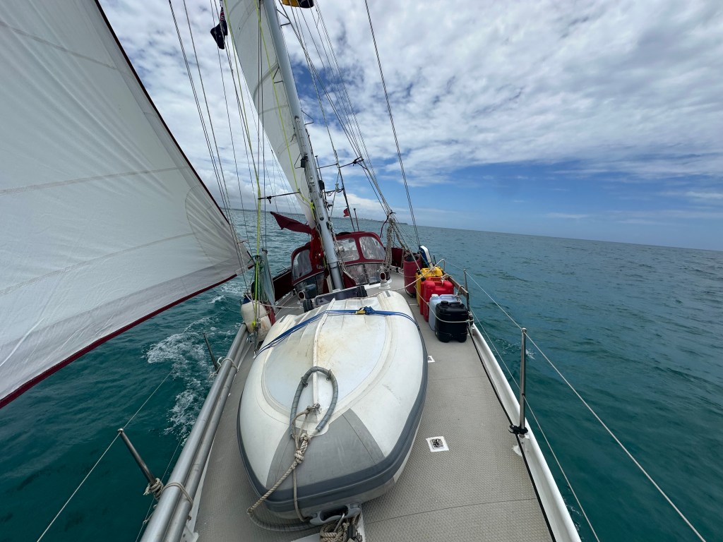
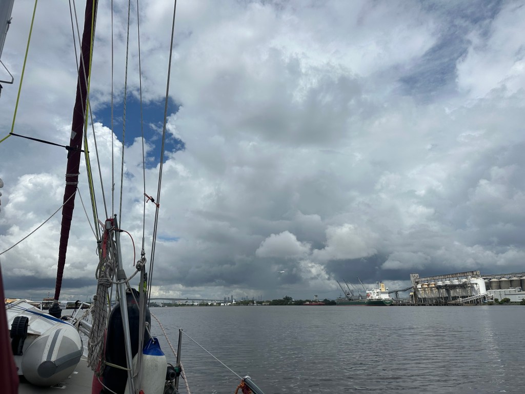
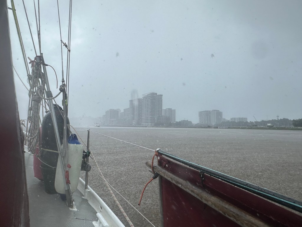
The initial weather on departure was overcast, with 15 knots of breeze from the east. We enjoyed a nice fast sail on a beam reach (the wind ninety degrees to our direction of travel). However, as the day wore on the skies grew increasingly dark, and soon we were pounced upon by a series of squalls that brought torrential rain and thirty odd knots of wind from the south. The first squall to hit caught us by surprise, and being over-canvassed we let the boat round up slightly. Once it had passed we reduced sail and were better prepared for the next.
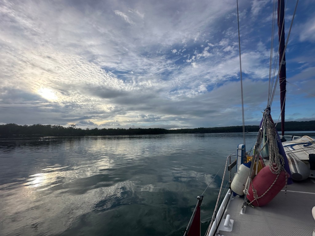
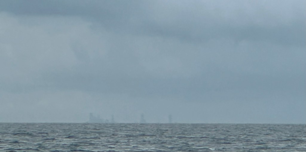
The squally weather presaged a change in the wind, which swung around until it was blowing 15 to 20 knots on our nose. We were approaching the channels but approximately four hours away from where we had planned to anchor. In the circumstances we started to think about diverting to an alternative anchorage, one that was about an hour away to the west. We had a bit of time in which we could hedge our bets, heading in a south easterly direction that could either feed us into the channels or allow us to head to the secondary site. Happily, the wind died sufficiently for motoring to become a realistic option, so we rolled the dice and decided to give the channels a go. As it turned out, the first section that we were in was wide and deep, and within a few hours we were safely anchored in Kingfisher Bay on K’gari or Fraser Island.
The European name for the island, Fraser Island, is currently out of vogue, but it is worth remembering if for nothing other than the lurid tale that lies behind it:
Captain James Fraser and his wife, Eliza Fraser, of England, were shipwrecked on the island (Fraser Island) in 1836. Their ship, the brig Stirling Castle, set sail from Sydney to Singapore with 18 crew and passengers. The ship was holed on coral while travelling through the Great Barrier Reef north of the island. Transferring to two lifeboats, the crew set a course south, attempting to reach the settlement at Moreton Bay (now Brisbane). During this trip in the leaking lifeboats, Captain Fraser’s pregnant wife gave birth in water up to her waist; the infant drowned after birth. The Captain’s lifeboat began sinking and was soon left behind by the second one, which continued on. The wrecked boat and its crew was beached on what was then known as the Great Sandy Island (Fraser Island).
Captain Fraser died, leaving his wife Eliza and the second mate Mr Baxter living among the local peoples. Eliza and Baxter were found six weeks later by a convict, John Graham, who had lived in the bush as an escapee and who spoke the Aboriginal language. He was sent from the settlement at Moreton Bay by the authorities there who had heard about their plight, and negotiated their return.
Within six months, Eliza had married another sea captain. She returned to England and became a sideshow attraction in Hyde Park, telling increasingly wild tales about her experiences with the enslavement of the crew, cannibalism, torture, and murder. As she is known to have told several versions of the story, it is unknown which (if any) version was most accurate. She may, subsequently, have been killed in a carriage accident during a visit to Melbourne in 1858.
Fraser’s stories were disputed, by other survivors at the time and afterwards. On her return to England, Fraser appealed for money to the Lord Mayor of London, claiming to be a penniless widow in need, but the subsequent inquiry revealed that prior to leaving Sydney she had both remarried an English captain with whom she returned, and also there received a large sum of charitable funds in light of her ordeal.
(Wikipedia —https://en.wikipedia.org/wiki/K%27gari)
Today, K’gari is a World Heritage-listed sand island, renown for its wild dingoes and its bird life. In the 2021 census, the island had a population of 152 people, but up to 500,000 people visit the island each year, many for four wheel drive excursions.
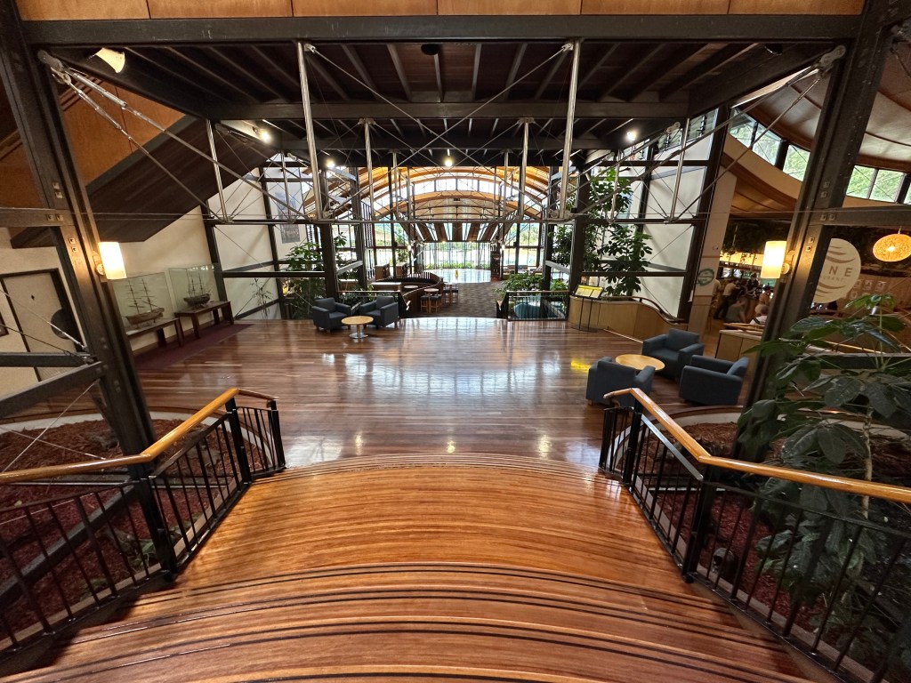
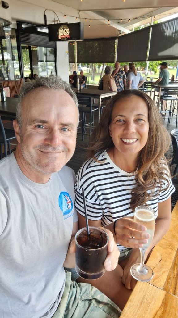
Kingfishers Bay is the site of a holiday resort which welcomes cruisers. After the inevitable boat jobs, which entailed getting so hot and sweaty that I was willing to risk the sharks and strong current for a cooling swim, we got on our glad rags and headed ashore. Parts of the resort were a bit run down, but the main centre has been rejuvenated and looks pretty flash. After a dip in the pool (no sharks or currents) we enjoyed a fancy meal for my birthday, which was the next day.

The following day we were up at 5:30 a.m. again. One outcome of the federal state system in Australia is that Queensland follows a different time schedule to the rest of the country, having opted out of daylight savings. This means that it’s an hour behind the rest of Australia. so whilst 5:30am might be 6:30am in real terms, it’s early enough in any state — especially a post big-night-out state.
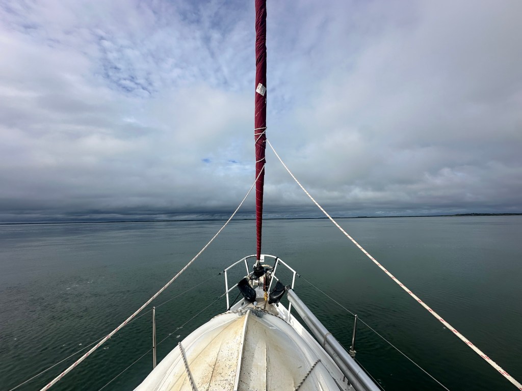
We continued down the Great Sandy Strait, through river and past mangroves as if searching for our heart of darkness. The mainly windless day saw us weave our way between channel marking piles that stuck out of the glassy water like so many canapés randomly placed on a tray. Our early start ensured that we passed the shallowest areas at high tide, and so we snuck through without so much as grazing Taurus’ newly painted bottom.
At one point during the day Cara disappeared and came back bearing a big birthday cake with an even bigger number iced on the front! It’s amazing what she can do in a boat galley!

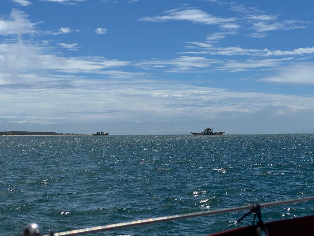
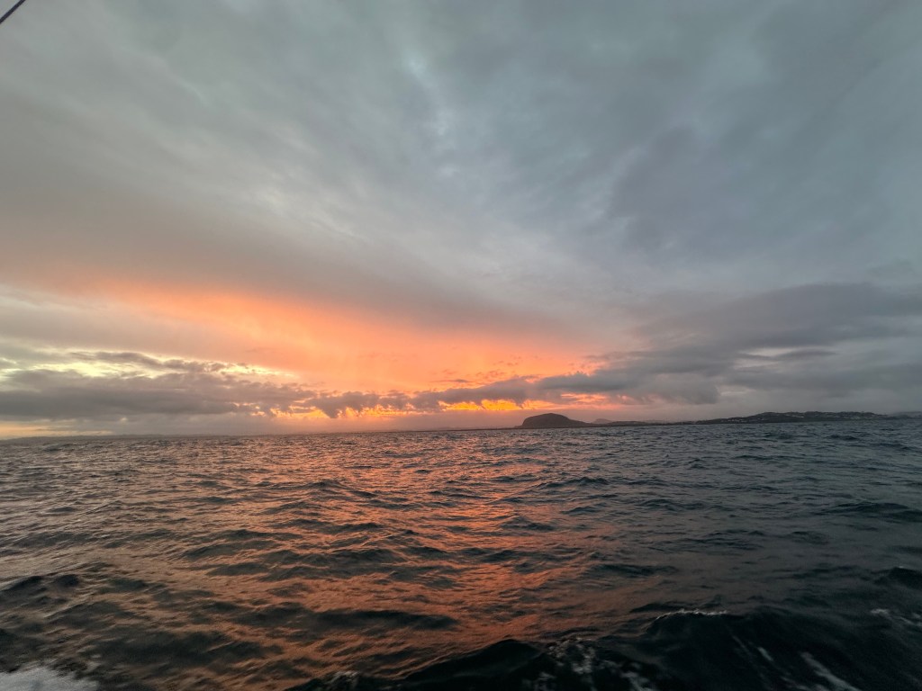
Eventually we reached the anchorage at Pelican Bay where we intended to wait for the high tide needed to cross Wide Bay Bar and get back out to sea. Pelican Bay provided the promised pelicans, as well as a couple of crazy looking vessels that constantly ran backwards and forwards between mainland and K’gari beaches. These odd looking vessels were ferries, carrying a never ending stream of 4x4s across the estuary: the lucky folk heading for their holidays on K’gari, the not so lucky heading back to work on the mainland. The resources that Australia throws at satisfying its citizens every whim is a little surreal after time spent in the Pacific. Especially when one considers that these ferries may only cost the passengers a few cents or dollars. At the last election the Queensland State Government promised to make all public transport fares 50 cents per trip, which is terrific value for public transport users, but staggeringly expensive for the tax payers.
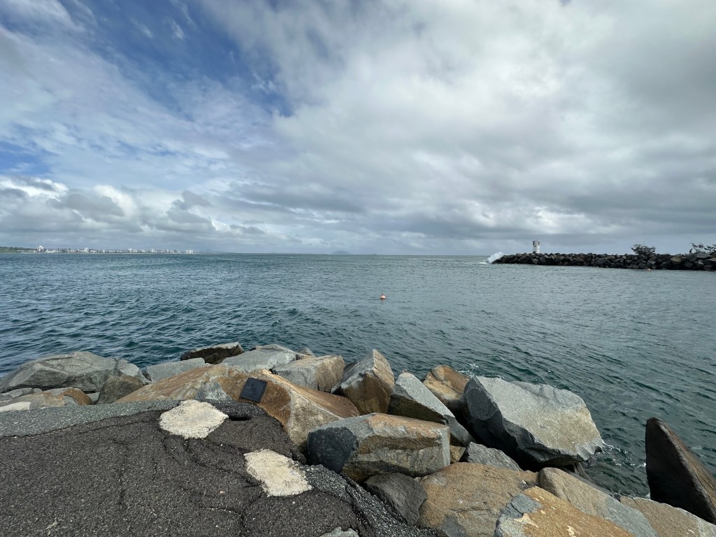
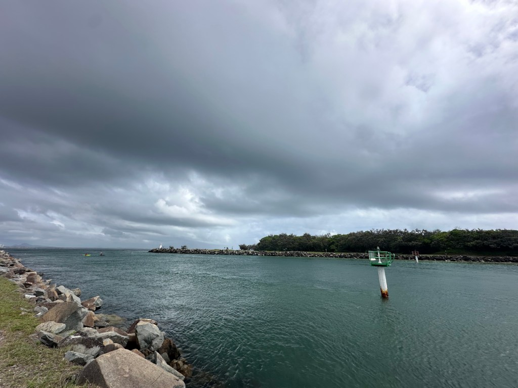
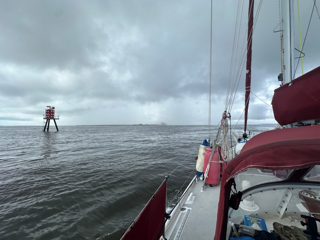
Bars, areas of shallow water caused by sand deposits, that often lie between rivers and harbours and the sea are notoriously dangerous. As waves are forced upwards by the decreasing depth they peak, tumble, and collapse, and can easily swamp a small boat. Currents can also become much stronger as they are funnelled through bottle neck gaps, and an outgoing tide hitting incoming waves can ‘under cut’ them, making them peak even further. In Australia, boat owners are constantly advised against attempting bar crossings in any kind of adverse, or even non-mild weather — indeed, some bars are considered too dangerous to attempt at all. The channel across bars also changes frequently as the sand shifts. In the past, the channel at Wide Bay Bar was laid out via markers stuck into the sand, but this inaccurate and unwieldy system has been superseded by modern technology. Nowadays the would be bar crosser contacts Tincan Bay Marine Rescue and they reply with a list of co-ordinates. Once plotted into the boat’s chart plotter they provide an up to date course that makes use of the very latest data. Somehow these virtual waypoints also create AIS (Automatic Identification System) signals — signals that ‘ping’ on modern chart plotters as if they were approaching vessels. I can no more explain this wonder than I can the workings of television, or the telephone, or much of the modern world, but it works and that’s all I need to know.
For all of the above reasons, crossing a bar requires a bit of planning and is always a bit of an anxiety inducing business. But as so often in life the things you worry about in the early hours vanish in the light of the sun. So it was with our crossing. Apart from a brief spell of fog, in which a trawler came charging towards us from seawards, the crossing couldn’t have been more straightforward, and once clear we gratefully set sail and headed south. Ultimately, a rougher trip might have paid dividends, as we might have been less complaisant in regards to our next crossing.
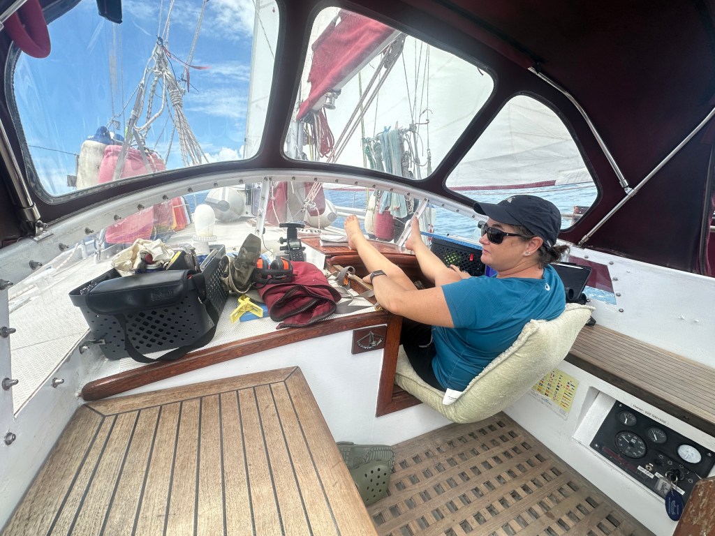
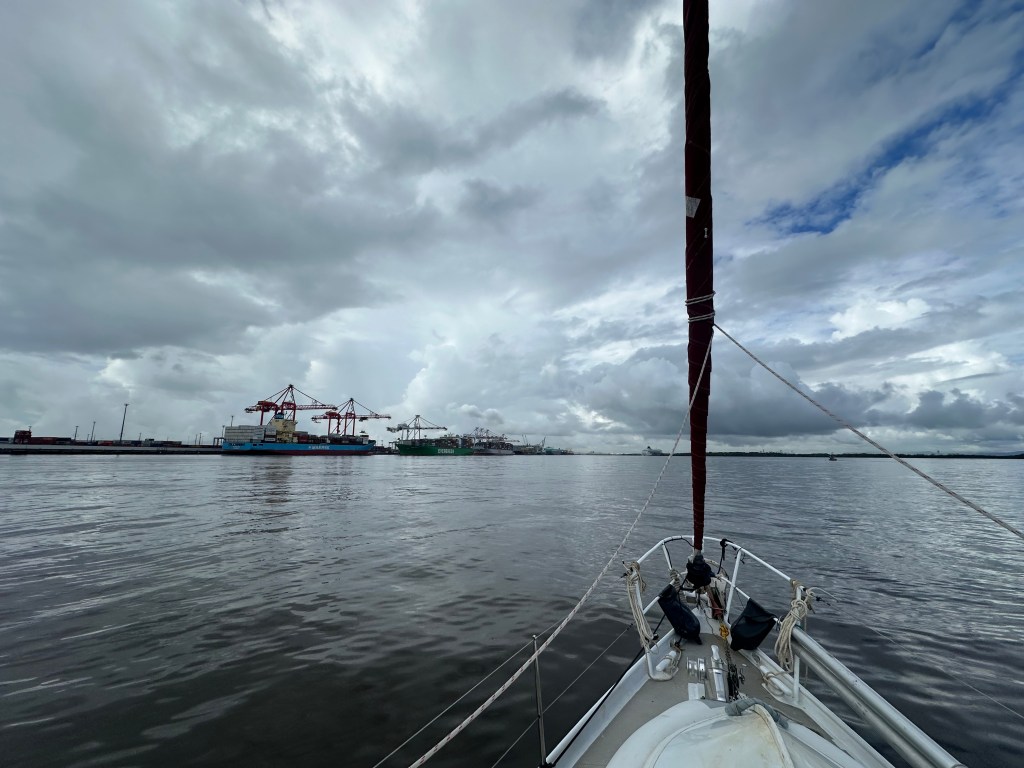
Our destination for the following leg was Mooloolaba, a coastal town some sixty nautical miles south. Perhaps understandably, our focus for the past few days had been on tides and shallow spots, winds and currents. Now, back at sea, we found the wind angle right on the point between allowing us to sail and preventing us from sailing. For a few hours we sailed east to try and improve our overall angle to head south, but naturally the wind followed us around and we ended up in the same predicament, but further away from our destination. The next twelve hours could have been lifted from the pages of Greek myth. Like Tantalus, for whom water and food receded from reach every time he bent his head to eat or drink, every time we hoisted the sails the wind would shift a couple of degrees, just enough to prevent us sailing. Down would go the sails, on would go the engine, and the wind would shift back so that sailing might be just possible. Up would go the sails, off would go the engine, and we might sail for somewhere between ten minutes and three hours before the wind would shift again. Down go the sails, on goes the engine… you get the idea. Despite the frustrating conditions we slowly gained ground to the south, sometimes by wind, sometimes by diesel, but always at the cost of time.
There are few places to anchor between Broad Bay Bar and Mooloolaba, but none of then were recommended by people we knew who had actually used them. All are exposed to the east and/or south, bringing big swells and uncomfortable conditions to those who attempt to stay in them in Sou’ Easterly winds, like those we ‘enjoyed.’ After several early starts and long days we weren’t keen to have a night on anchor which would be at best uncomfortable, and at worst place us on a dangerous lee shore (a shore downwind, so that the boat would be blown upon it if engine or sails were insufficient to claw off). This lack of a safe anchorage led us to take the always nerve wracking option of entering a harbour at night.
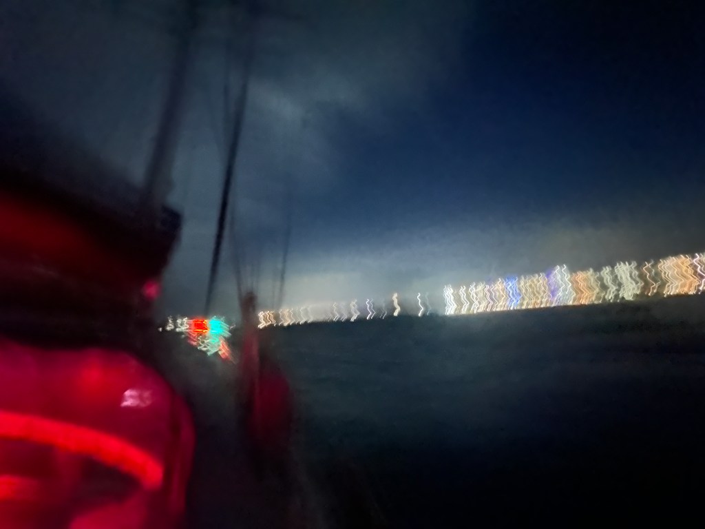
In the past, we have entered various harbours and ports at night, and often afterwards wished we hadn’t. Any sailor approaching land is slightly nervous, because land and boats make for poor bed fellows. Whilst often the sea can be frightening, it is land that generally sinks boats. On the other hand, land, whilst worrisome for those with no wish to lose their homes and lives, also offers the bosom of all manner of comforts: a safe and comfortable night’s sleep, fish and chips, and beer, to name but three. The problem is how to navigate one’s way through the transition from sea to bosom without finding oneself on the rocks.
In this respect, large ships are fortunate as they are able to make use of pilots, experienced professional mariners who know their particular harbours like the back of their hands. Small boats rely on channel markers — piles with different coloured lights, red on the port side, green on the left (if returning from sea). At some point, some clever chap decided that each of these lights should have an individual sequence of flashes so that they can be identified and told apart from their compatriots. However, in my experience, no-one has the time to count the sequence of flashes and pauses and relate them to a pilot book, rather the dazed sailor approaching the rocky shore is faced by a dazzling confusion of lights that blink on and off, off and on, in a dazzling anarchic light show. The confusing result can be very hard to decipher, and the light closest to the boat is often missed as it winks off whilst its further siblings flash merrily away, and thus the channel markers can lie about where the channel lies.
So it was for our entry into Mooloolaba. Imagine an inky dark night in which you have red and green channel marker lights flashing at you in accordance to a tune that only they know. Now add the innumerable lights that modern society demands to maintain normal operations burning away in the background. These obliterate night vision, jealously hoarded at sea, and obscure the channel lights that show where the route to safe passage lies. Traffic lights, industrial lighting, domestic lights from the multi-storey homes that lie directly behind the channel into harbour, all serve to hinder the hapless sailor. Now, if you happen to try and enter said harbour during yuletide one has to add the flashing kaleidoscope of Christmas lights that every merry Christmastairan feels that she or he must decorate their flat, house, or boat with in order to enter the spirt of the season. On our entry we also had the added ‘help’ of some kind soul, or erstwhile ship wrecker, who chose to point a blindingly bright strobe at us from shore.
Entering Mooloolaba one also has to cope with a bar crossing, so that strong waves crossing the entry at right angles shove your boat around as you try to line up the various lights to make safe entry. In the past, when faced with conflicting information from passage marker lights, I have simply sat back and relied upon my instruments, following the chart plotter like a blind man clutches hold of his dog. However, when the boat is being thrown around by waves upon entry the instruments swing wildly, covering an arc of ninety degrees or more. In these disorientating conditions any attempt to correct tends to overcorrect.
So, here we found ourselves. Approaching unknown land, shallow seas to one side, a bar to the other, no real idea where the channel lay, and blinded by some dick head with a strobe light. For a minute or two I have to confess we were all over the shop, the impaired visibility in the cockpit made finding our course so much harder. But Cara ran up on deck and yelled directions, and as we steadied the ship a leading light became evident which we could follow between the rock walls that extended out like a mother’s welcoming arms. Once inside the channel, however, we found that we had leapt from the proverbial pan into the fire. The small channel, bound on either side by moorings, marinas, and ultra-expensive domiciles, provided a scene that lay somewhere between chaos and a descent into Dante’s Inferno. Every man and his dog with a boat had laden it with Christmas lights, laden him or herself with a dozen of Australia’s finest, and was busy chopping in and out of the channel whilst blasting their horns and yahooing like fifteen year olds allowed out on prom night. In a darkness splintered by a million LEDs we could make neither head nor tail of what the hell was going on. Our twelve metre boat with nav lights and steaming light showing fitted right in, and soon attracted a crowd of motor boats and jet skis that zoomed around us in joyous melee or dangerous idiocy, depending on your state of sobriety.
As we tried to navigate through the mess Cara, still on deck, yelled at me to stop as we were heading for a buoy lit by a weak light that wasn’t on the chart. ‘Turn to starboard’ she said, ‘I can’t,’ I replied, ‘there are piles and boats there’, ‘well you jolly well should she said,’ ‘well, I jolly well can’t’ I replied, most civilly.
Fortunately, once inside the harbour the wind and current were such that we could cut power and remain stationary long enough to make out a gap between buoy, piles, and boats, and continue. The further we got inside the less insane the world appeared, and ultimately we found the berth that we had prearranged with Wharf Marina. They, very kindly, had offered us our first night’s stay free of charge, a consideration that had almost floored us after our experience at Bundaberg where any service came with a large invoice.
Somehow, given our jangling nerves, we managed to gently glide into our berth and pull to a stop at exactly the right moment for me to jump off and secure our mooring lines. We might have practiced the manoeuvre a thousand times. No doubt the inebriated souls ashore watching, celebrated our achievement with us, though I have a sneaking suspicion that they would rather have seen us, and filmed us, wiping out a dozen yachts for their amusement. Once tied down we did what any sensible soul would: we had a stiff drink and went to bed.
Next morning, after an energising breakfast of coffee and crepes, we wandered up to the channel entrance to try and debrief the previous nights events and see how we could have done better. In the cold light of day the entrance seemed fine, the bar was evident, but the better conditions and missing cacophony of lights made the whole thing look pretty tame. As we sat there we saw a motor launch come charging in, only cutting power once safely in the channel, which gave us some clue as to how those with experience tackle their entry. I remembered that I cut power as we swung towards the entrance, trying to gain time to see where we were going, but also giving the waves, which we couldn’t see, greater impetus to push us off course.
We later learnt that the Mooloolaba Christmas marine parade had been winding up just as we entered the harbour. The buoy we almost hit, which wasn’t on the chart, was gone the following day, so presumably it was just there just for the parade. We had been talking to the Mooloolaba Marine Rescue group in regards to the bar crossing, and, as their building overlooks the harbour, one might think they would mention the highjinks taking place. We had also asked about bar conditions, which is something boat owners are encouraged to do, but been told by a burly sounding Aussie voice, “I haven’t got a crystal ball mate.” Rightyo! The experience, like all ‘learning experiences’ was pretty stressful at the time. Entering unmarked Fijian reefs, storm force winds, and almost colliding with semi-sunken vessels pales in comparison to entering an Australian harbour at Christmas time. Like having a toe amputated, I don’t recommend it.
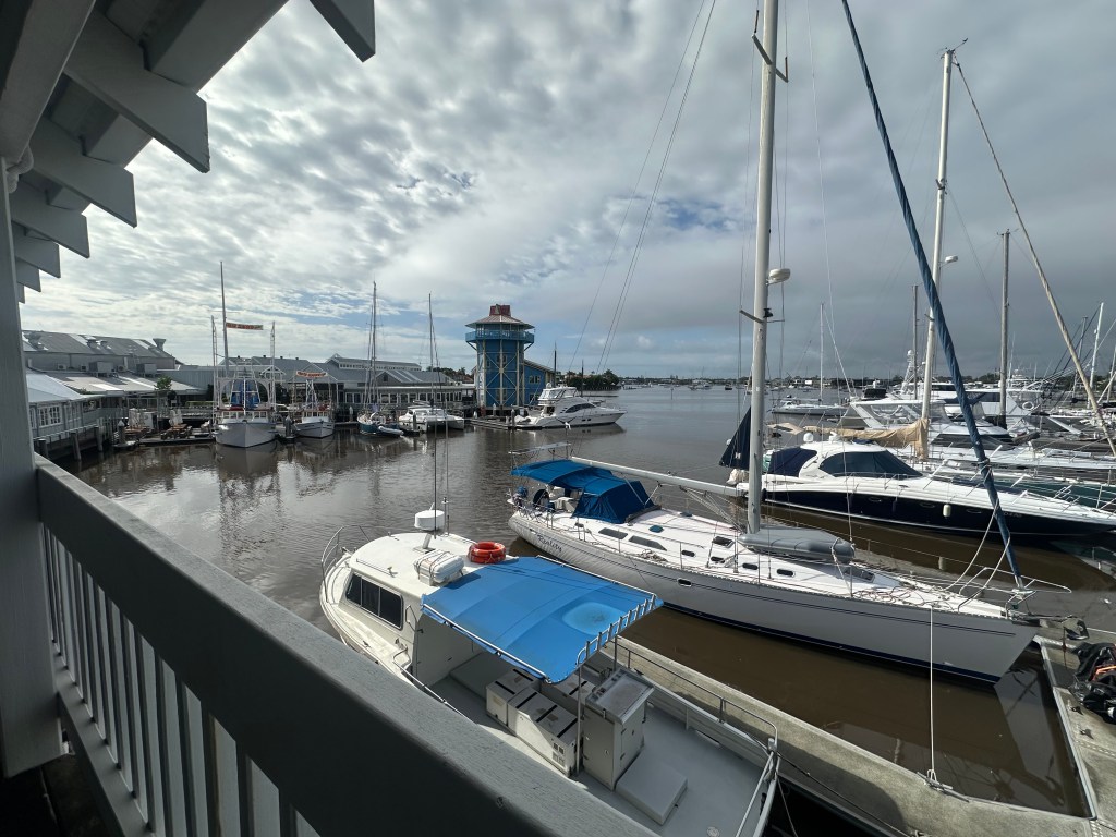
Our few days stay in Mooloolaba was greatly improved by friends of ours being in an adjacent marina. I first met Steve and Karen in Bundaberg, and being fellow Brits we quickly formed a bond that was cemented over a series of sun-downers. Steve and Karen own Naivasha, a stunning Halberg Rassy. Currently halfway round the world on their planned circumnavigation, they have amazing stories, and a generosity that most long range sailors seem to attain along the way (if they don’t already possess it) — along with salt encrusted skin and smelly waterproofs. It was great to be able to spend more time with these guys and try to absorb some of their sailing wisdom.
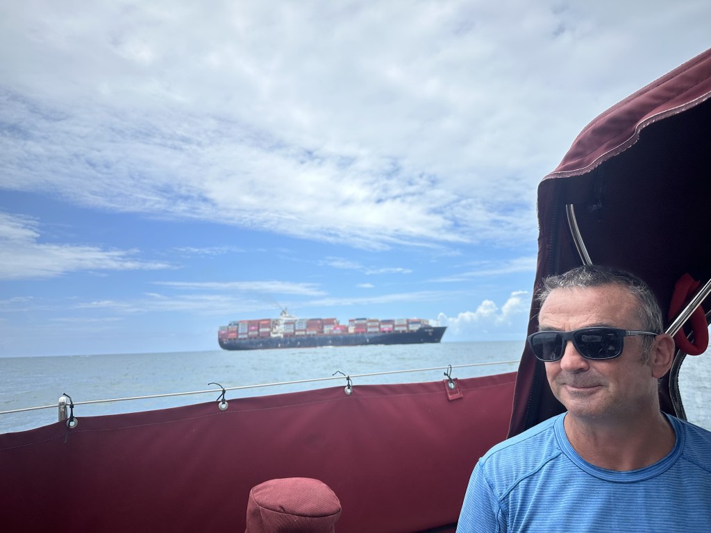
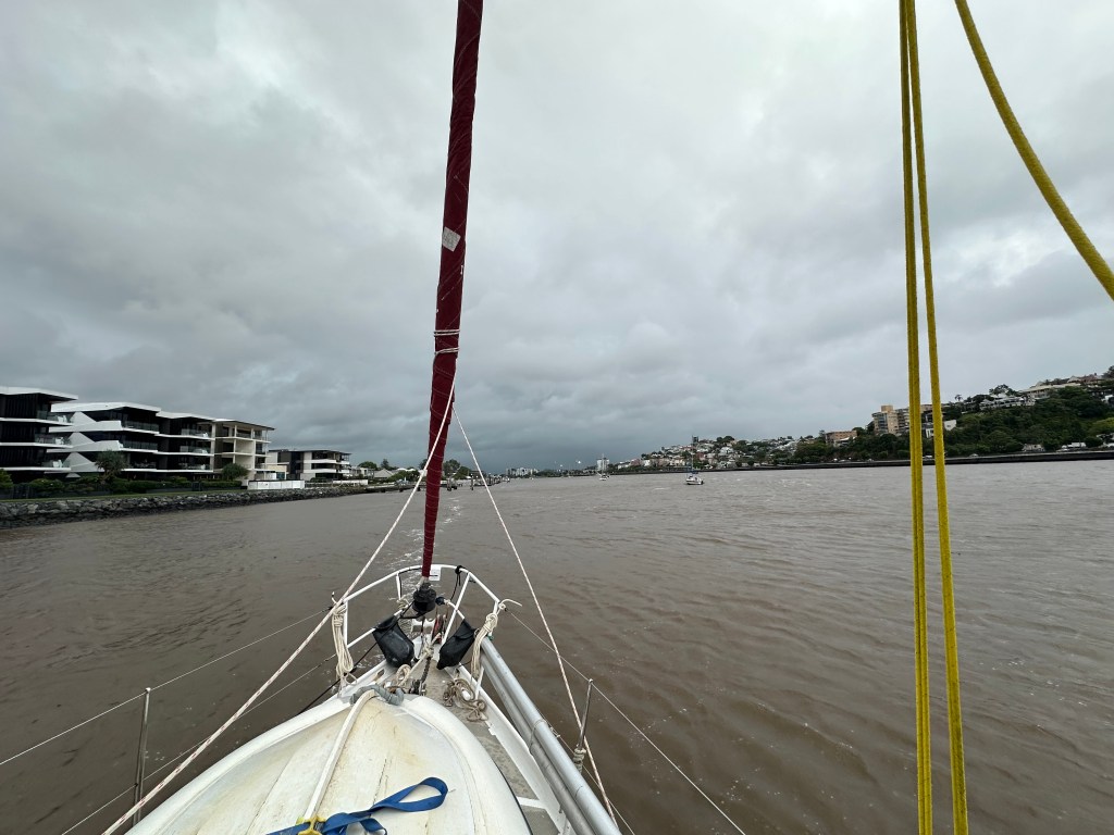
A couple of days later the winds at last appeared favourable for a sail to Moreton Bay, the large bay in which Brisbane sits. For once the wind gods smiled, and we were able to sail all the way in a blissful fifteen knots of warm and gentle breeze. The latter part of the trip was a bit more challenging as we negotiated the shoals, channels, and large ships plying their way into the bay, but nothing could spoil that idyllic day.
We spent the night anchored off the charmingly entitled ‘Mud Island’, and next day headed up the Brisbane River.
As we headed up the river we received a phone call from Julian, a friend and fellow cruiser that we had met in Noumea. Julian is a commercial skipper based near Brisbane, and knowing that we were coming he called to tell us to be wary of going too far up the river. Whilst we knew that strong winds of up to forty knots were predicted for that evening and the following day, we were unaware that there had been record rainfalls inland, which meant that three of the dams up river were releasing water. Further rain was predicted that afternoon with the possibility of further easement and the potential for the Brisbane River to flood. This is not a particularly rare occurrence, with the river flooding in 1974, 2011, 2015, and 2022, but nor is it a small deal; the damage caused by the 2015 flood alone cost some A$2.4 billion to rectify. As Julian put it, “if the river floods it’s the last place on Earth you want to be.” As if on cue, dark clouds rolled in and the heavens opened.
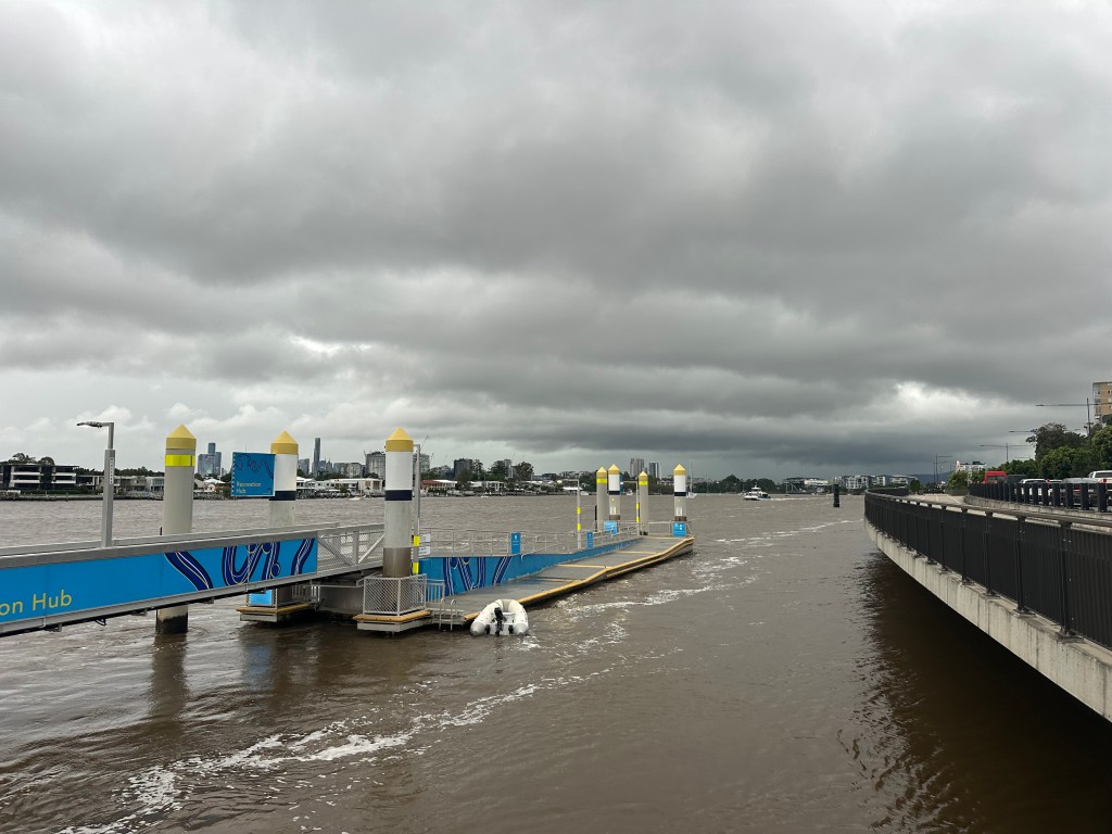
In the circumstances we decided not to continue heading up river, and began looking for a likely spot to anchor. Somewhere where from which we could skiddadle out to sea quickly if needed, and somewhere protected from the strong southerlies that were due to arrive. In the end we found a perfect spot opposite Bretts Wharf jetty. We were protected from the south by multi-storey houses and could take the dinghy across the river to a public jetty. We could tie up the dinghy there and walk to Bretts Wharf where we could jump on one of the excellent public ferries that cost a mere fifty cents a trip. Compared to the issues we had faced getting off the boat in Bundaberg, Brisbane has its act together.
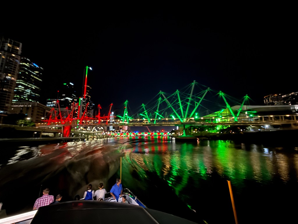
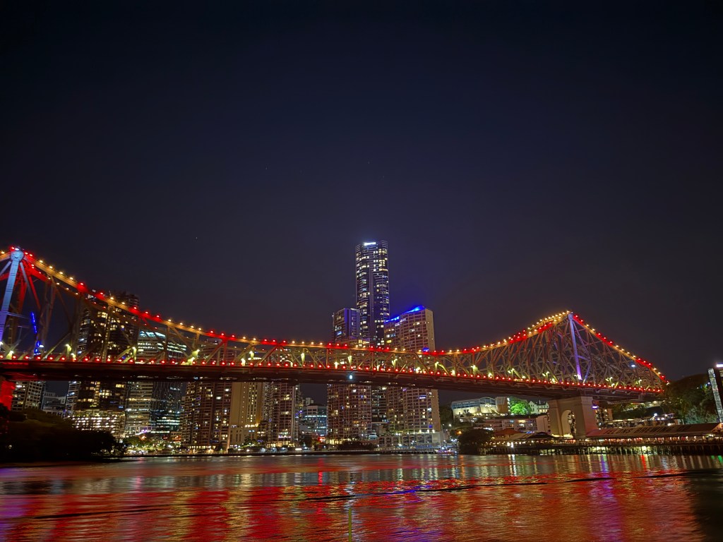
After a bumpy night, weaving around in the mixture of forces created by the strong current and strong wind, we got the dinghy off and headed into the city to do the tourist scene.
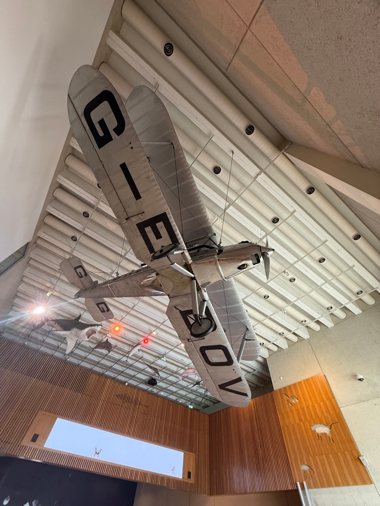
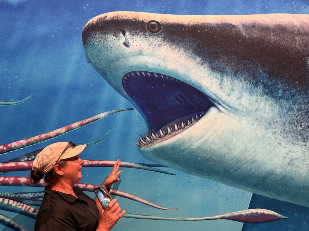
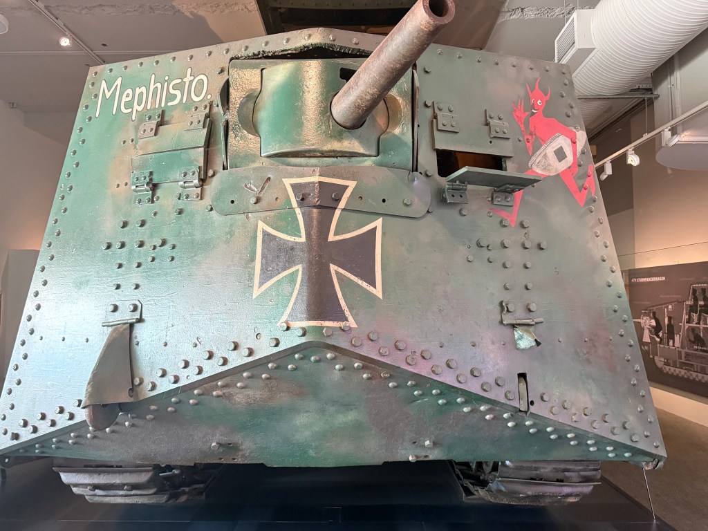
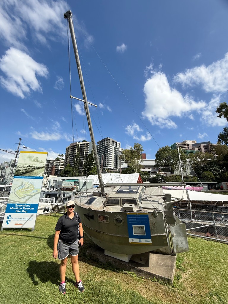
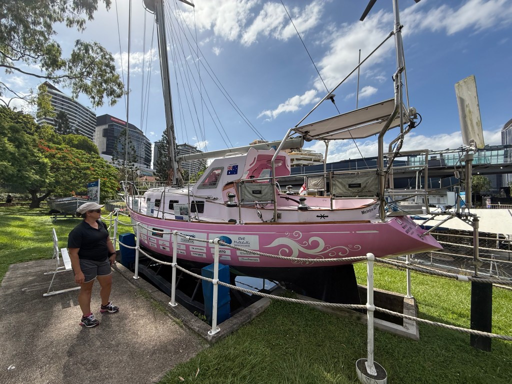
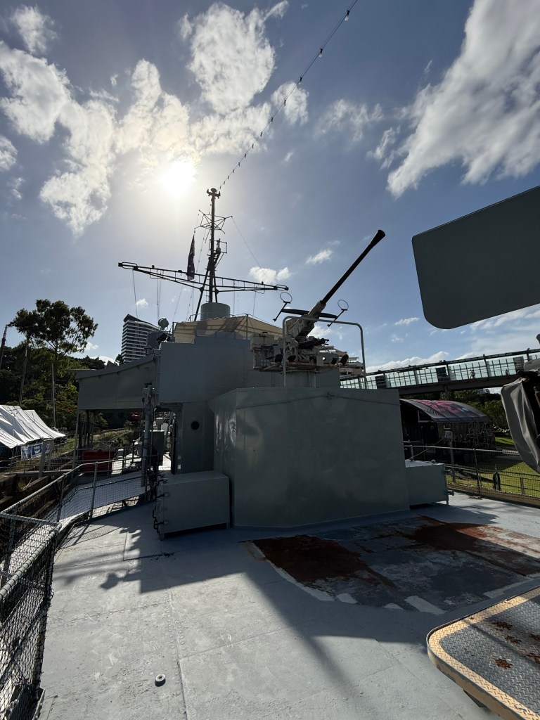
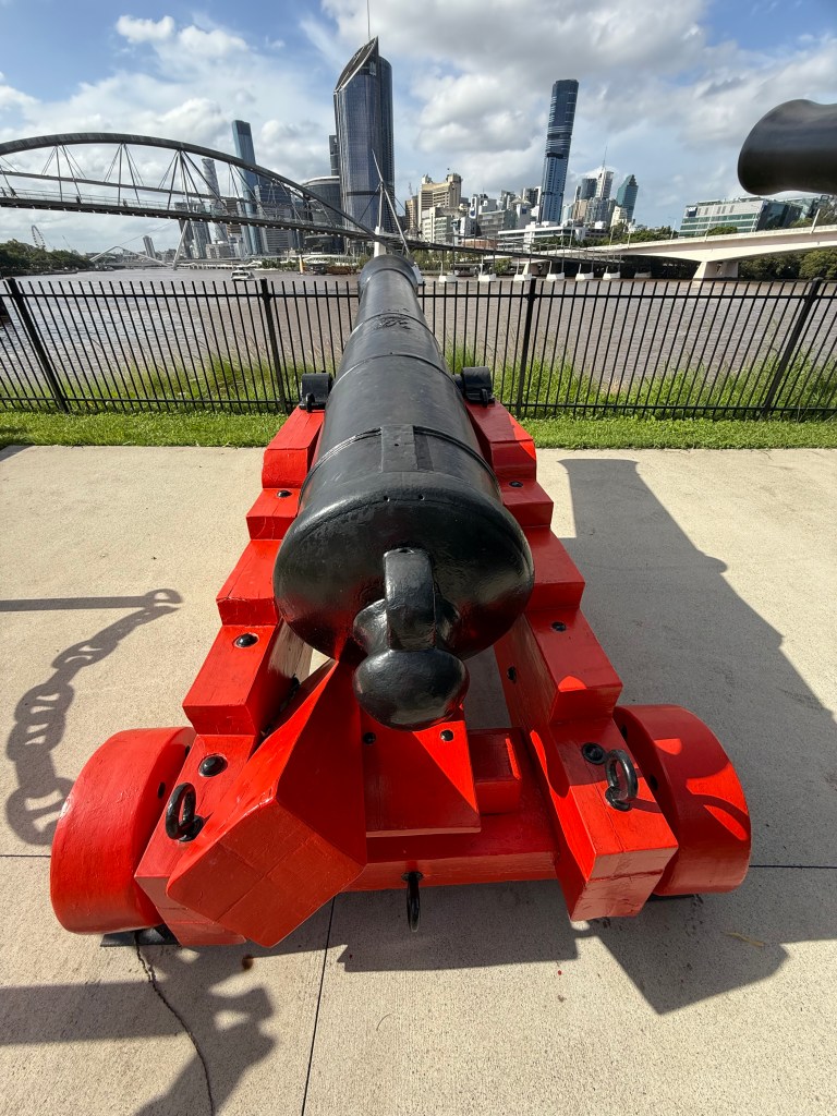
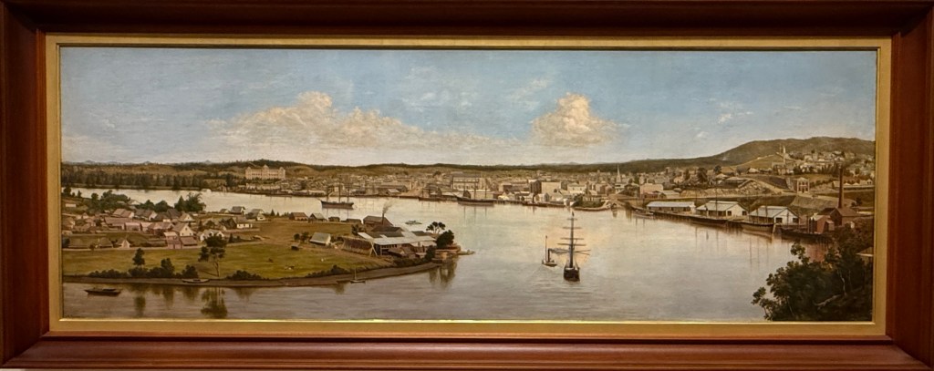
Following the obligatory trip to the shops, we visited the Queensland Museum, the Maritime Museum, and the Art Gallery.

Next time: We catch up with friends and family, we head down more shallow channels towards South Port, we catch a nasty bout of Aussieonhols and jetskitis, we flee back to sea.

Leave a comment